Folk Map - cresby.com
         &/or mister.red


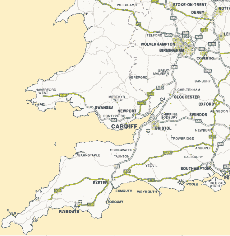
 Folk Clubs, session, ceilidhs and festivals

 click anywhere on the map,
 radius starts @ 10+10Km, it can be increased.
 If a town / village name appears, it is
 a good indication of a venue within 1 Km of
  that spot, click & see below.
 

 other local listings can be found from the
 Drop-Down menus at the top
 or by hovering beyond the purple dots

 (think Exeter to Shrewsbury 
 Cardiff to Nettlebed (Oxon))
 ish

 Ring first before travelling
any distance


OSGR =
 see below for list based on OSGR above.
 help panel will show until you click somewhere

 distance/county/post code/etc cell
 are links to Streetmap of the location

your recent searches below - click to re-visit

.


 for UK generally
 Streetmap.co.uk

  > hover here to show some adjustment/display parameters based on help panel (at start).................<
this div layer

I am thinking....
.
Print version & SaveAs favourite refresh last find if you see this maybe JavaScript is restricted
contact me
mister.red
 choose a town  click to find events  display on how soon 
predicting up to a month ahead
 but beware
 display Post Code   re-display Counties 
20 km ml or km UK (12) OS GridRef  Alpha GridRef
approx distances attempt to account for the Bristol channel ( £ € ) & river Severn
always check if a long way or update looks old . . . days calendar festivals dance dates dance towns sessions Folk Clubs help